02
What was done
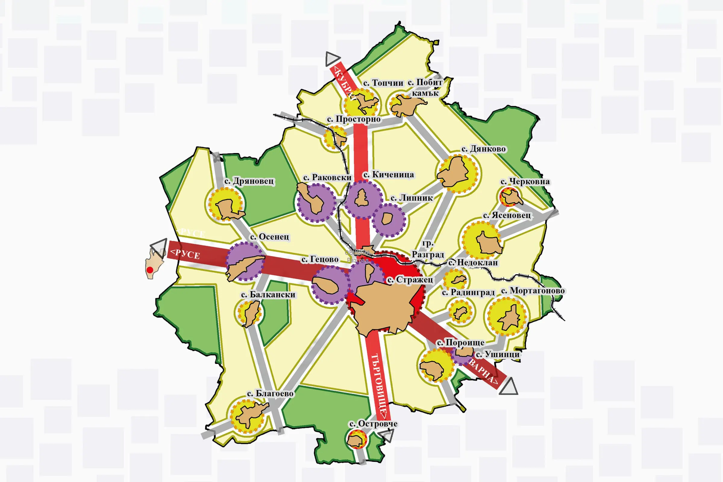
Preparation of graphic and illustrative materials for the Integrated Development Plan of Razgrad Municipality for the 2021–2027 period. A Geographic Information System (GIS) was used to process, structure and spatially visualise the information needed to develop the project's diagrams.