02
What was done
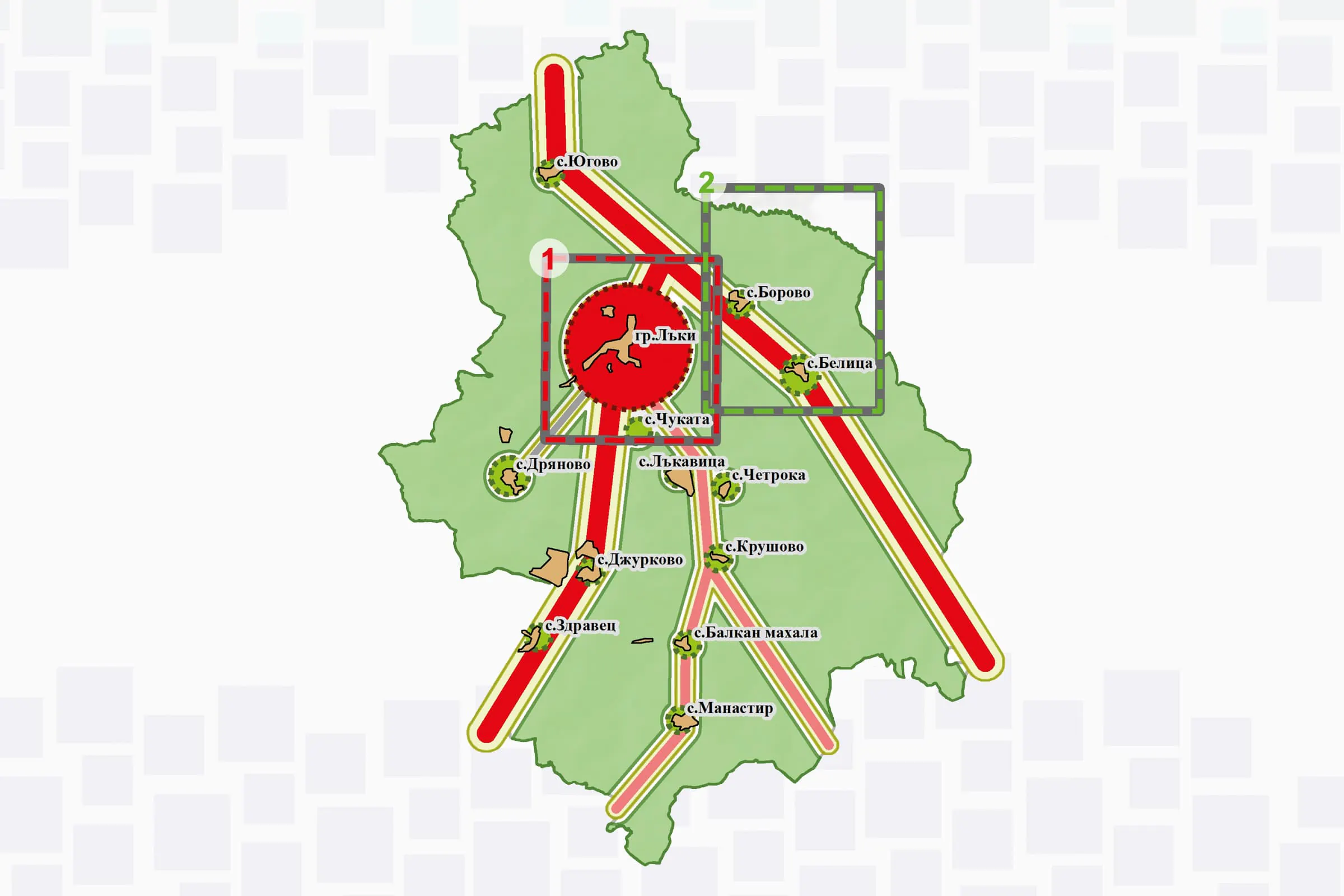
Participation in the development of the graphic and illustrative materials for the Integrated Development Plan of Laki Municipality for the 2021–2027 period. Thematic diagrams were developed presenting the spatial distribution of the territory's main characteristics and development priorities. A Geographic Information System (GIS) was used in preparing the diagrams for data processing and spatial visualisation.