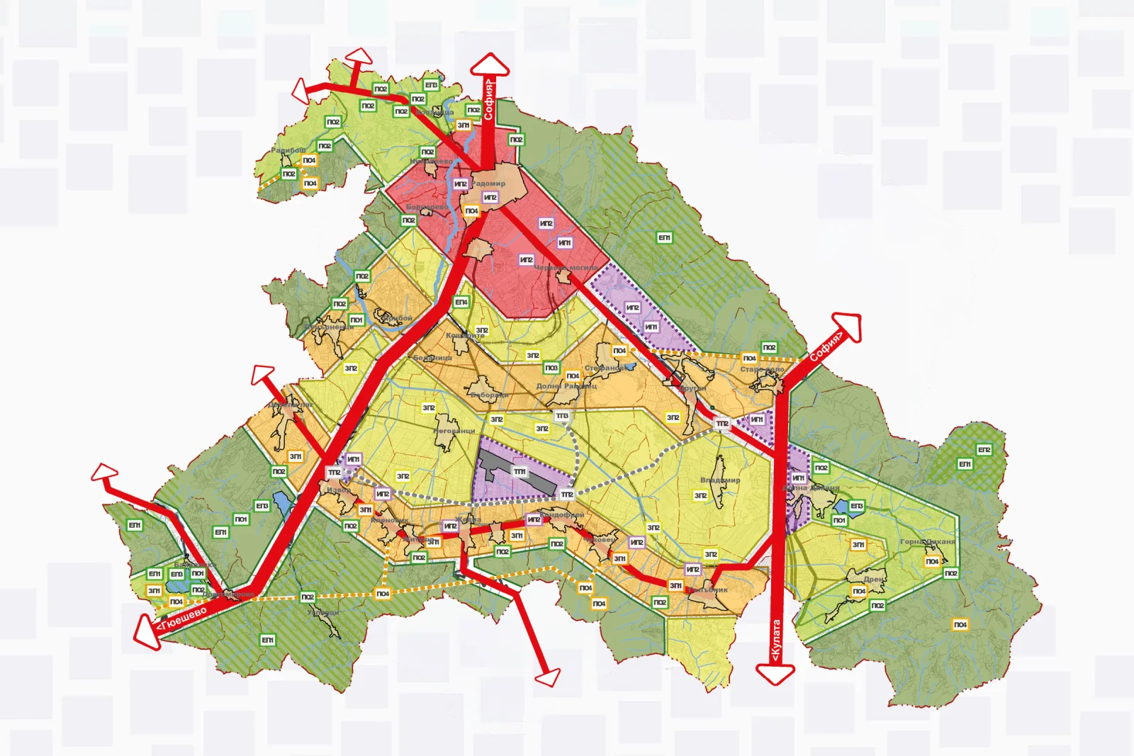
General Spatial Development Plan of Radomir Municipality
ОУП · General Spatial Development Plans

General Spatial Development Plan · Radomir · 2013

General Spatial Development Plan of Radomir Municipality

42.4823, 22.9904

01 / Summary

Development of the General Spatial Development Plan of Radomir Municipality for the period 2014–2035, with participation in the urban planning part of the project. The plan formulates a long-term vision for the spatial and functional development of the municipality, setting directions for the organisation of the territory, the development of settlements and the sustainable use of natural and territorial resources.

Location
Radomir, Pernik
Category
General Spatial Development Plan
Period
2013
Role
"Vizura", Non-key expert "Urban Planner"
Participation
Expert participation
Status
Completed
02

What was done

Expert urban planning work was carried out in the development of the General Spatial Development Plan of Radomir Municipality. Studies and analyses were made of the existing territorial and settlement structure, the functional characteristics of the settlements, demographic processes and the potential for spatial development. Urban planning proposals and graphic materials were developed, presenting the main directions for the future development of the municipality.

03

Scope

A comprehensive urban planning analysis of the territory of Radomir Municipality was carried out, covering various aspects of the existing situation and the potential for future spatial and functional development. On the basis of the studies, planning proposals and development directions were formulated. As part of the overall analytical and design process, numerous graphic diagrams were developed to illustrate the results of the individual studies and to present different characteristics and patterns in the territorial development of the municipality.

04

Result

The analyses and planning proposals developed contribute to building a long-term spatial framework for the development of Radomir Municipality. They create preconditions for better functional organisation of the territory, balanced development of settlements in line with their characteristics and potential, and coordination of the municipality's future investment intentions.